We are pleased to feature a post from Chelsea Sedlak, a runner, Mother Earth lover and a seeker of all things wild. When she isn't working with special needs children, you will find her either with her nose in a book or outside enjoying her backyard that is the Bay Area, California.
I have always been the type to seek the farthest away for travels and it was no different when I committed to avidly hike. I had to see the very best of the best and I lost sight of the fact that my own backyard, quite literally, offered some beautiful hiking.
The Bay Area may be the tech industry’s mecca but don’t let that deter you from seeking out unparalleled trails to hike. There are a multitude of state parks (and a national park!) that are quite precious gems in their own right.
It is can be overwhelming to narrow down where to seek nature. I have complied a list of the top 5 day hikes that I feel showcase the understated beauty of this area.
Henry Cowell Redwoods State Park
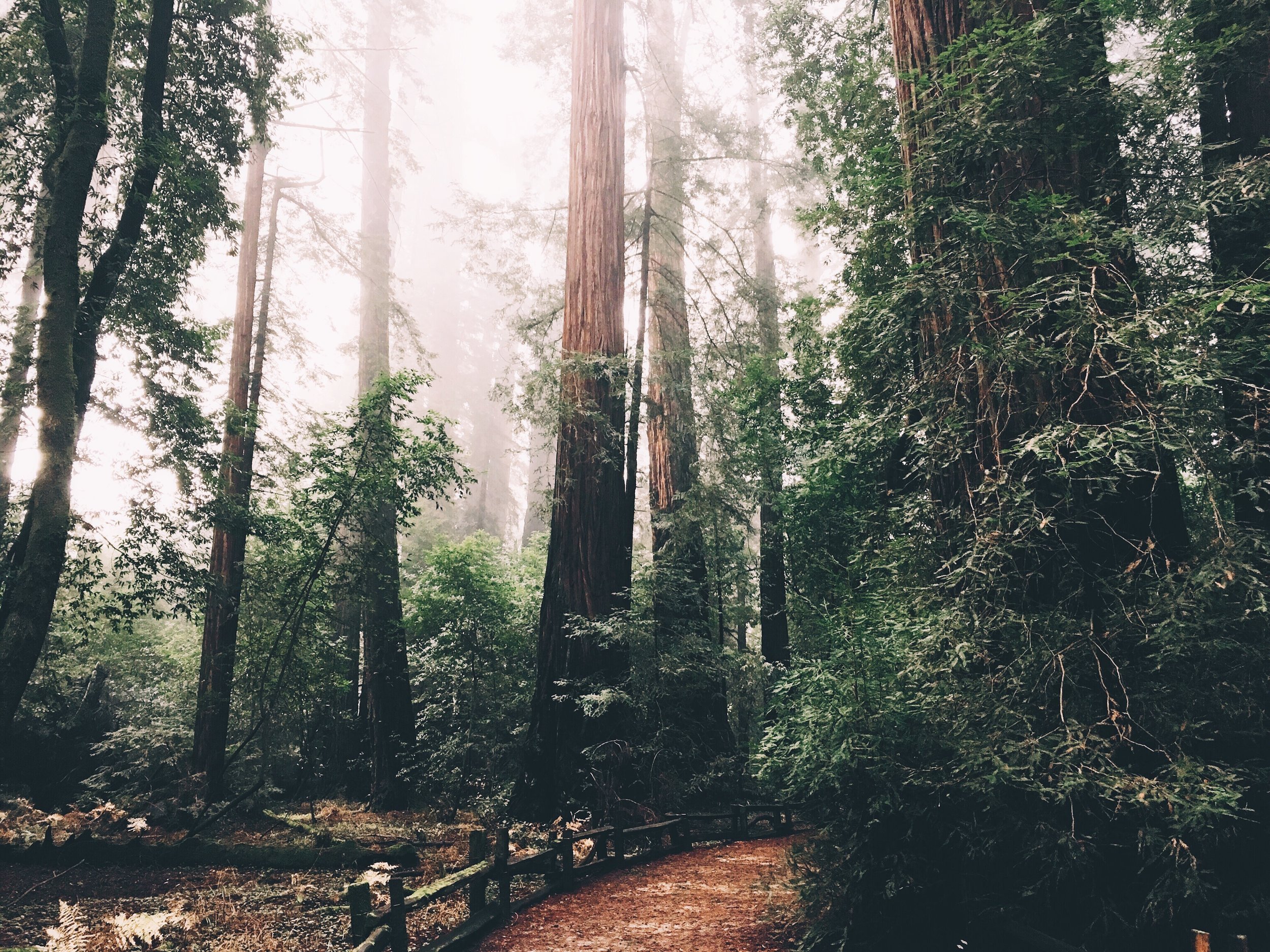
Location: Felton, California (Santa Cruz County)
Best Time to Go: Year Round
Trail Suggestion: Redwood Grove Trail
Trail Description: This trail is a beautiful, easy stroll in the grove. The grandeur of the trees will leave you aw-inspired. The LT. John C. Fremont Tree is a naturally hollow tree where the man whom the tree is named after camped inside. Once inside the hollow, you can even see where a shelf was carved out!
Length: 0.8 mile
Fee: $10
Helpful Tips: Parking fills up rather fast. Always a good idea to get an early start.
Castle Rock State Park
Location: Los Gatos, California
Best Time to Go: Year Round
Trail Suggestion: Goat Rock Trail
Trail Description: This hike has stunning views of the Santa Cruz Mountains, a waterfall, and a rock (Goat Rock) which is popular among climbers. The trail itself is rated as moderate but does provide some challenges as it gains in elevation. Keep a look out for “tafoni”; small cave like features found in granular rock.
Length: 4.6 miles (loop)
Elevation Gain: 1,164 ft.
Fee: $8 (bring cash)
Helpful Tips: Start at the parking area off Highway 35, just 2.5 miles southeast of the junction with Highway 9. Wear sturdy shoes, the trail is crosses many tree roots in some areas. Make sure to get a picture at the popular Goat Rock and waterfall!
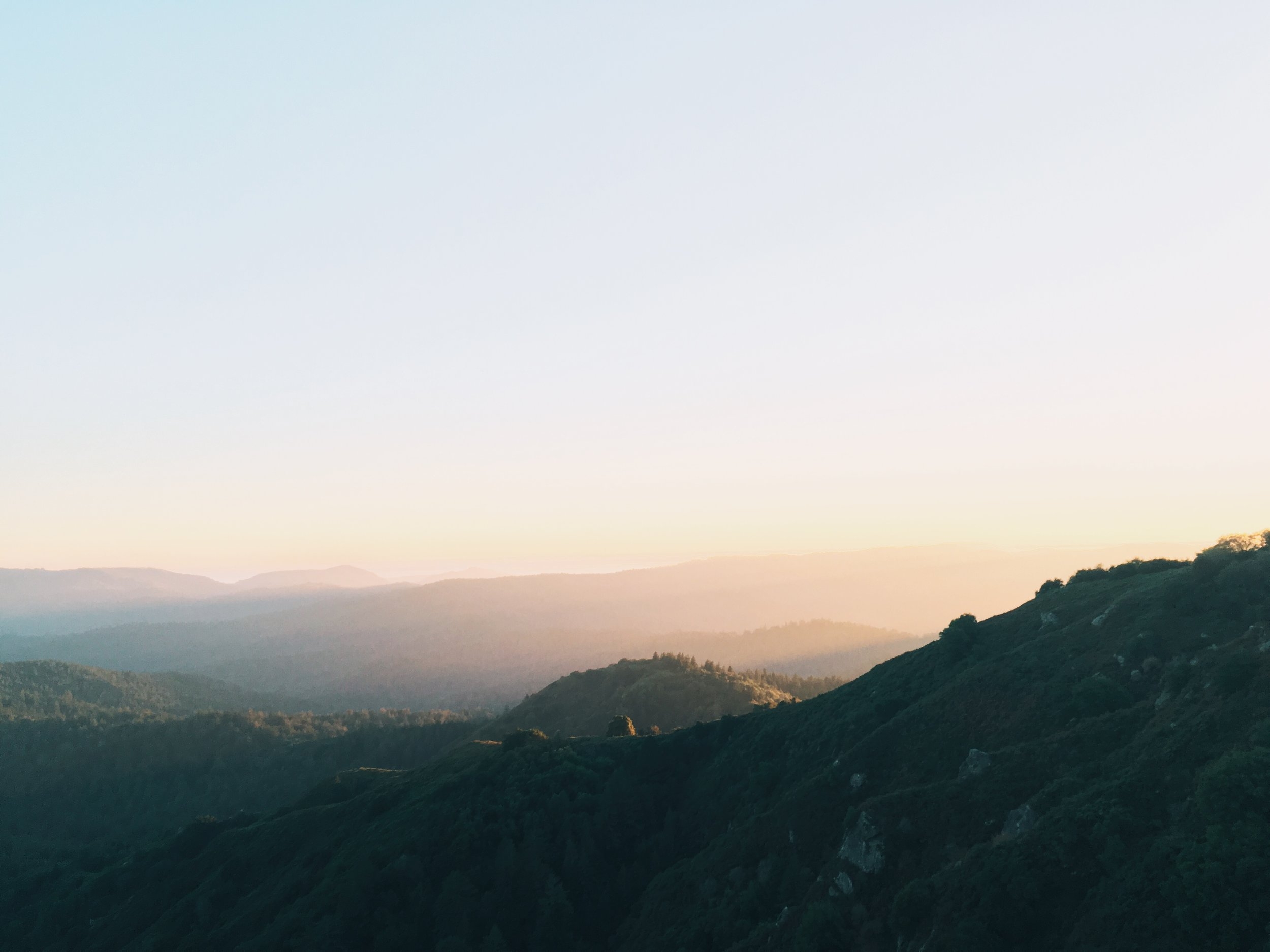
Pinnacles National Park
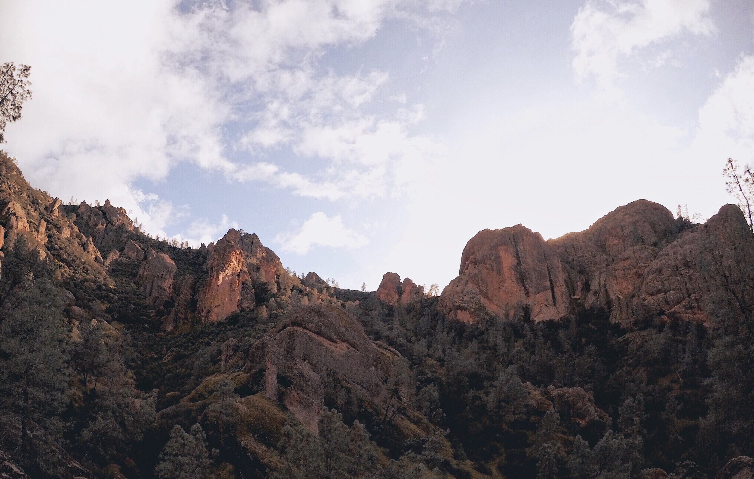
Location: Paicines, California
Best Time to Go: Year Round (Hot during the Summer)
Trail Suggestion: Juniper Canyon Trail to High Peaks (West Entrance)
Trail Description: This hike provides some serious blood pumping to the heart due to quick elevation gain. The trail is maintained well but there are some slippery spots. There are plenty of “pull off” areas along the trail that provide sweeping views. At the top, you can see down into the other side of the park, with Bear Gulch in the distance. It makes you feel on top of the world!
Length: 4.1 miles (loop)
Elevation Gain: 1,414 ft.
Fee: $15 (valid for 7 days)
Helpful Tips: The park does not have a road that connects both entrances. All trails connect to either side. Driving from one entrance to the other is around 2 hrs drive time. To the East Entrance, take CA 25 to CA 146. Turn west on CA 146 into the park. To the West Entrance, take US 10; at Soledad turn east onto CA 146 and follow signs. Remember, CA 146 does not go through the park.
Purisima Creek Redwoods Preserve
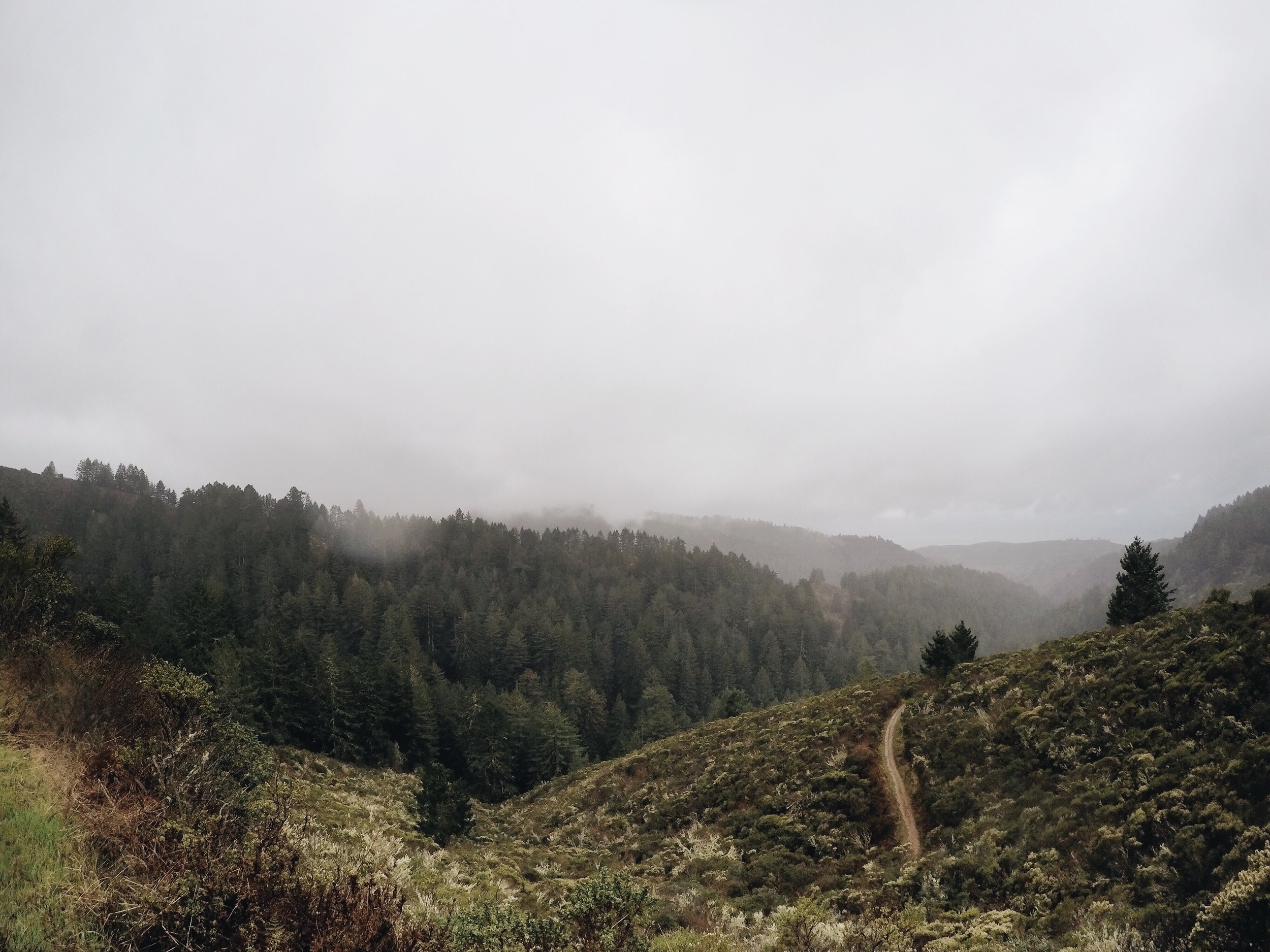
Location: Half Moon Bay, California
Best Time to Go: Year Round (Wet in Winter)
Trail Suggestion: Whitemore Gulch and Purisima Creek Loop Trail
Trail Description: This trail provides a plethora of scenic diversity. It ranges from towering Redwoods, to streams, and breathtaking ocean views. Every twist and turn of this trail leaves you in awe and continually guessing what the next view may hold.
Length: 9.8 miles (loop)
Elevation Gain: 2, 972 ft.
Fee: no parking fee
Helpful Tips: Parking for about 8 cars with some side-of-road parking (do mind the no parking signs). Being a moderate rated trail, do wear proper hiking/trail shoes and wear layers- its impressive how the fog density trapped in the forest growth can make for a chilly hike!
Butano State Park

Location: Pescadero, California
Best Time to Go: Year Round (Wet in Winter)
Trail Suggestion: Butano creek Trail
Trail Description: This particular trail lets you soak up the essence and beauty of the park without taxing you physically. Expect to cross the creek several times as it follows along Little Butano Creek.
Length: 2.2 miles
Elevation Gain: 439 ft.
Fee: $10
Helpful Tips: From CA 1 in San Mateo County, turn east into Pescadero Road. Drive 2.5 miles, turn right (south) onto Cloverdale Road. Drive 4.5 miles, and turn left into park. Parking for about 6 cars near kiosk with road side parking throughout the park. Since creek crossing will be inevitable, do wear shoes that will help make the hike comfortable and wear layers.